Maps
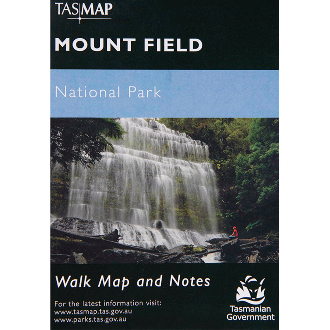
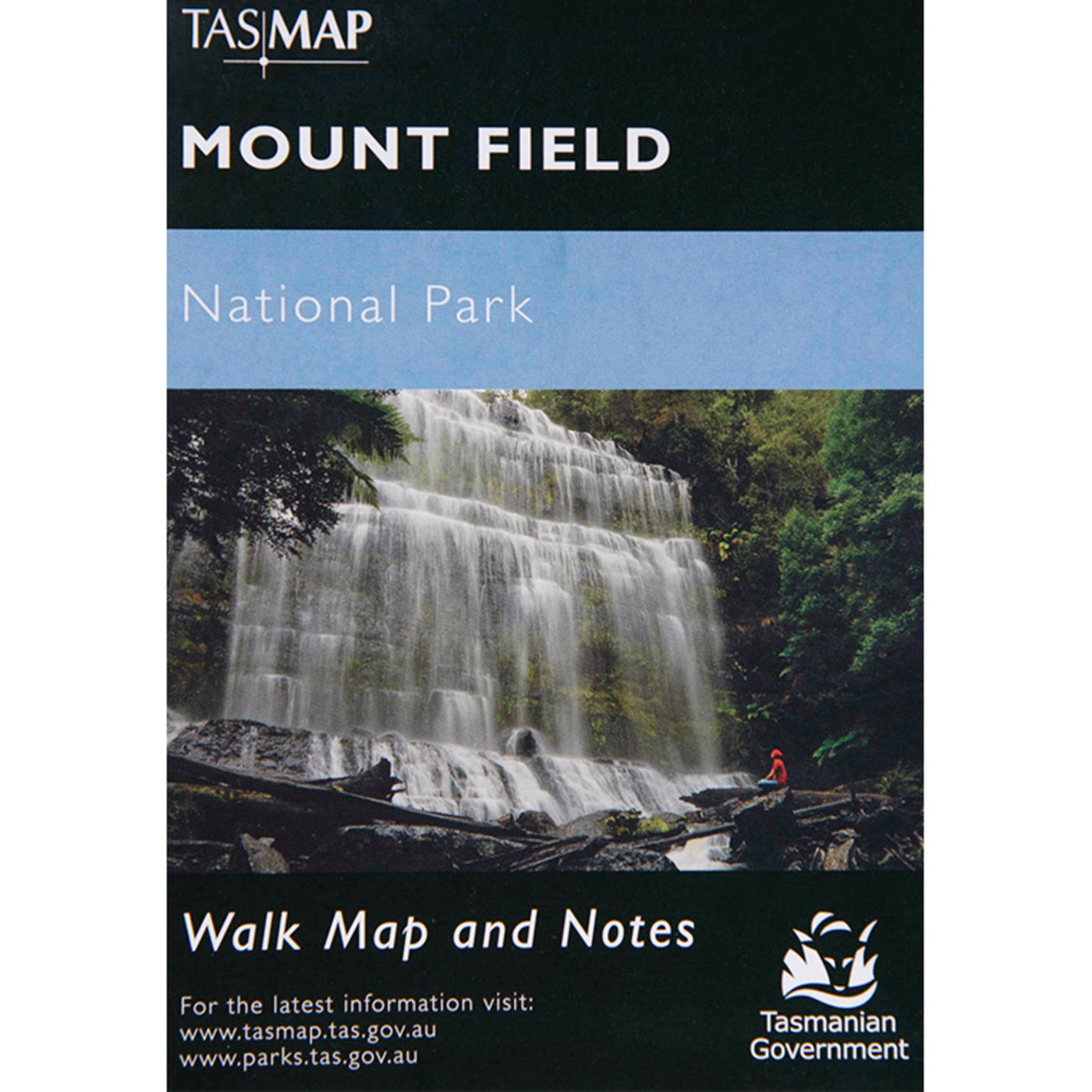
Mount Field National Park Map
$7.95
Mount Field National Park Map TASMAPMap & Notes Mount Field National Park is located 75 kilometres west of Hobart on the Maydena Road. Glacial valleys,...
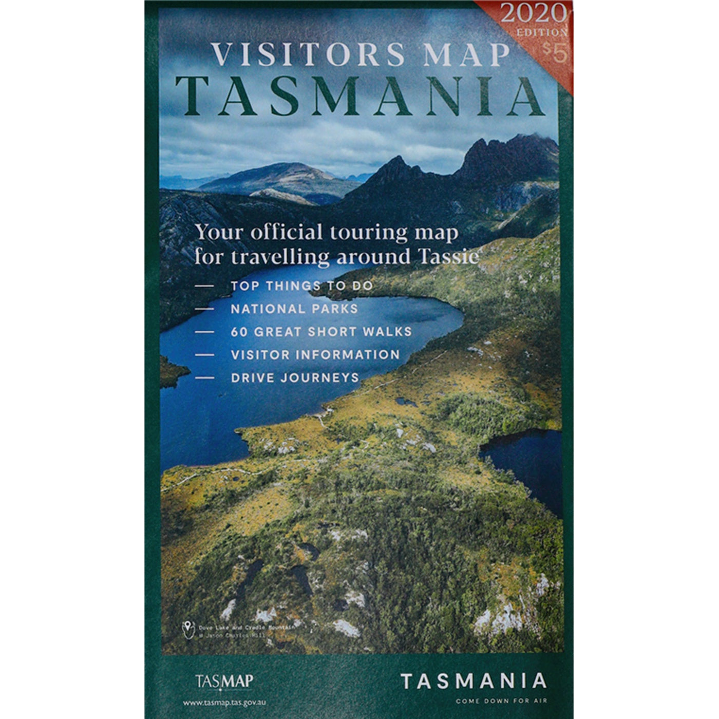
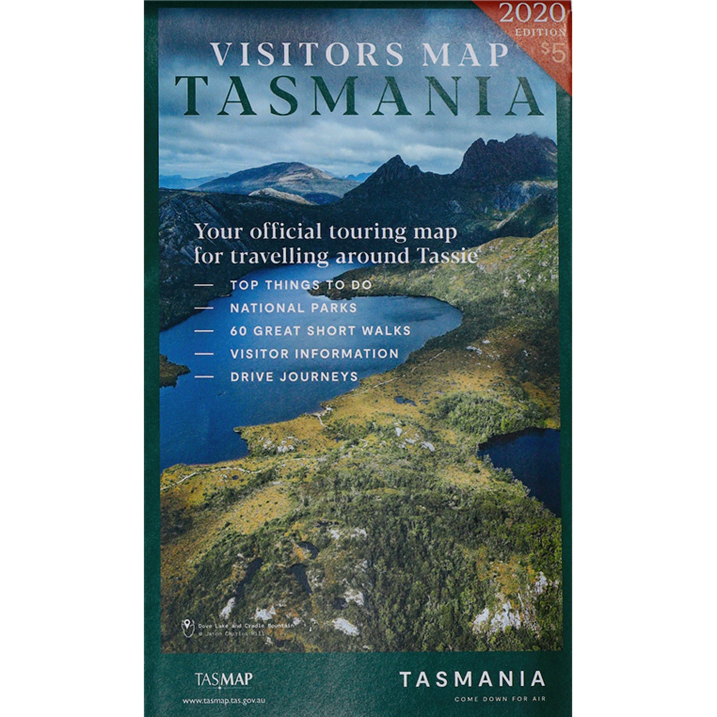
View full product detailsVisitors Map
$5.00
Visitors MapTASMAP2020 EditionThe Visitors Map is produced in conjunction with Tourism Tasmania. It covers the entire State at 1:500,000, with large scale town and city...
View full product detailsBruny Island Walks Map
$13.95
Bruny Island Walks Map TASMAPMap & Notes South Bruny National Park contains an appealing mix of towering dolerite cliffs, secluded coves, long sandy beaches, colourful...
View full product detailsMaria Island National Park Map
$13.95
Maria Island National Park MapTASMAPMap & Notes Maria Island is a charming, peaceful and relaxing place where you can immerse yourself in the island's intriguing...
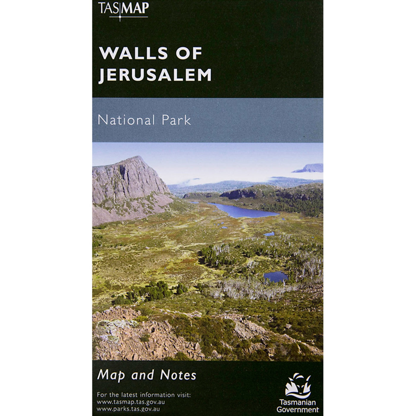
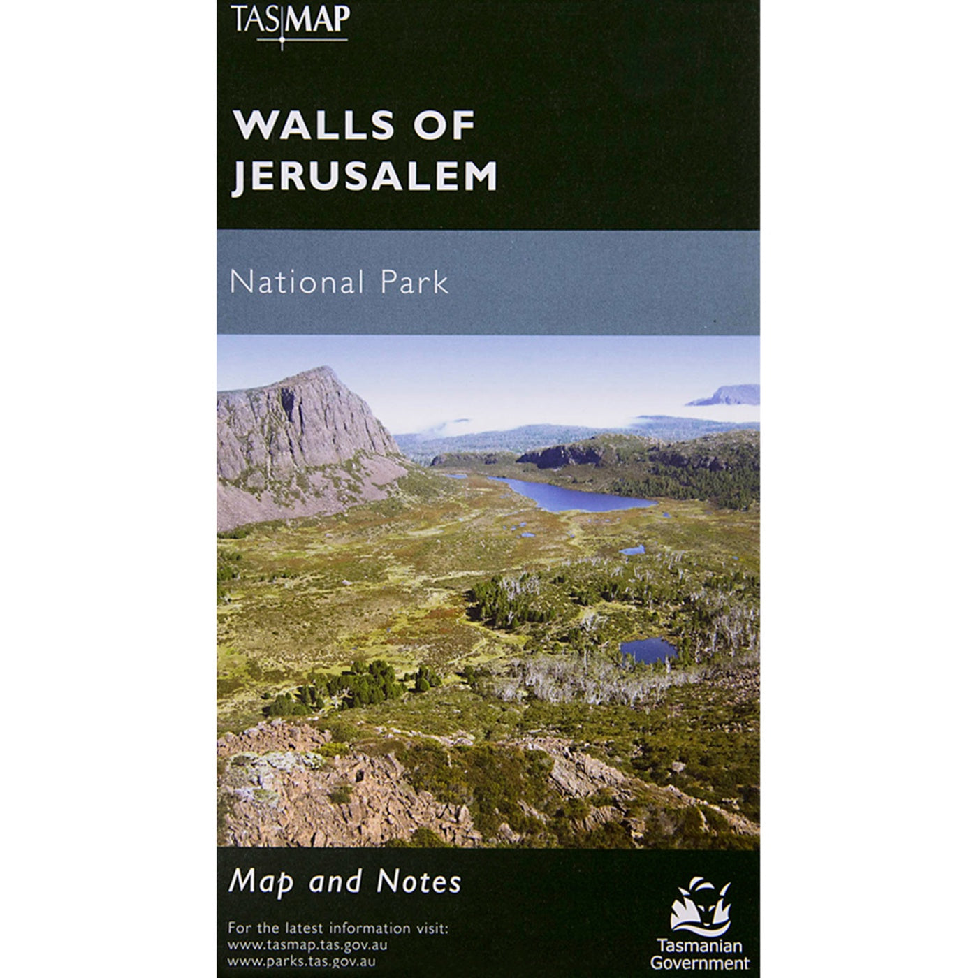
View full product detailsWalls Of Jerusalem National Park Map
$13.95
Walls Of Jerusalem National Park MapTASMAPMap & Notes The Walls of Jerusalem are located in a remote area of the Tasmanian highlands. There is no...
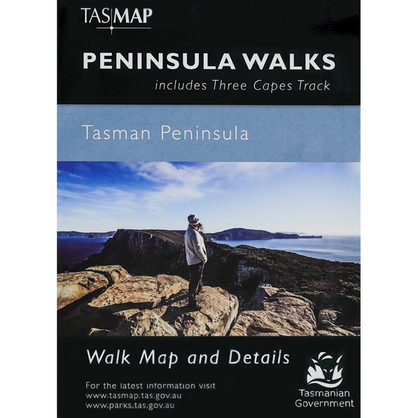
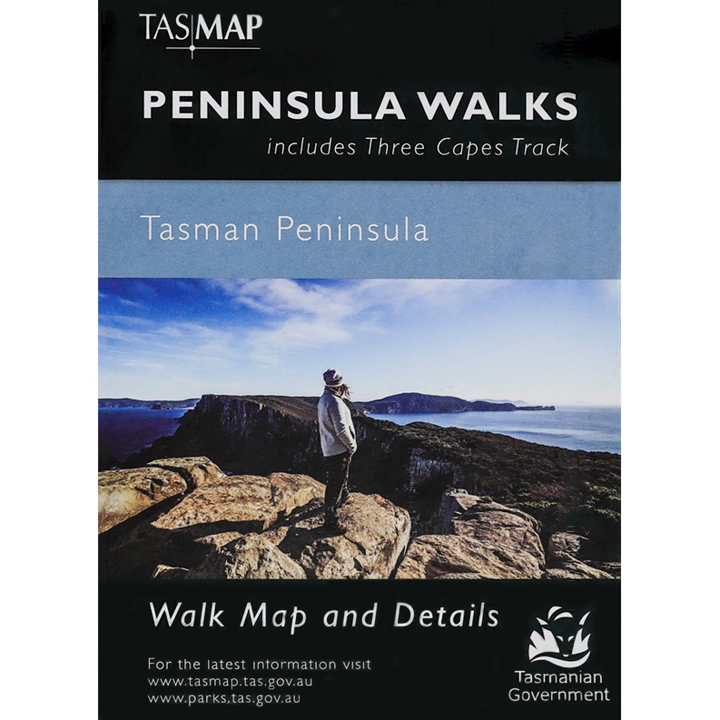
View full product detailsPeninsula Walks Map
$7.95
Peninsula Walks Map, including Three Capes TrackTASMAPMap & notes Your guide to getting the most out of your Tasman Peninsula experience!With a unique new format...
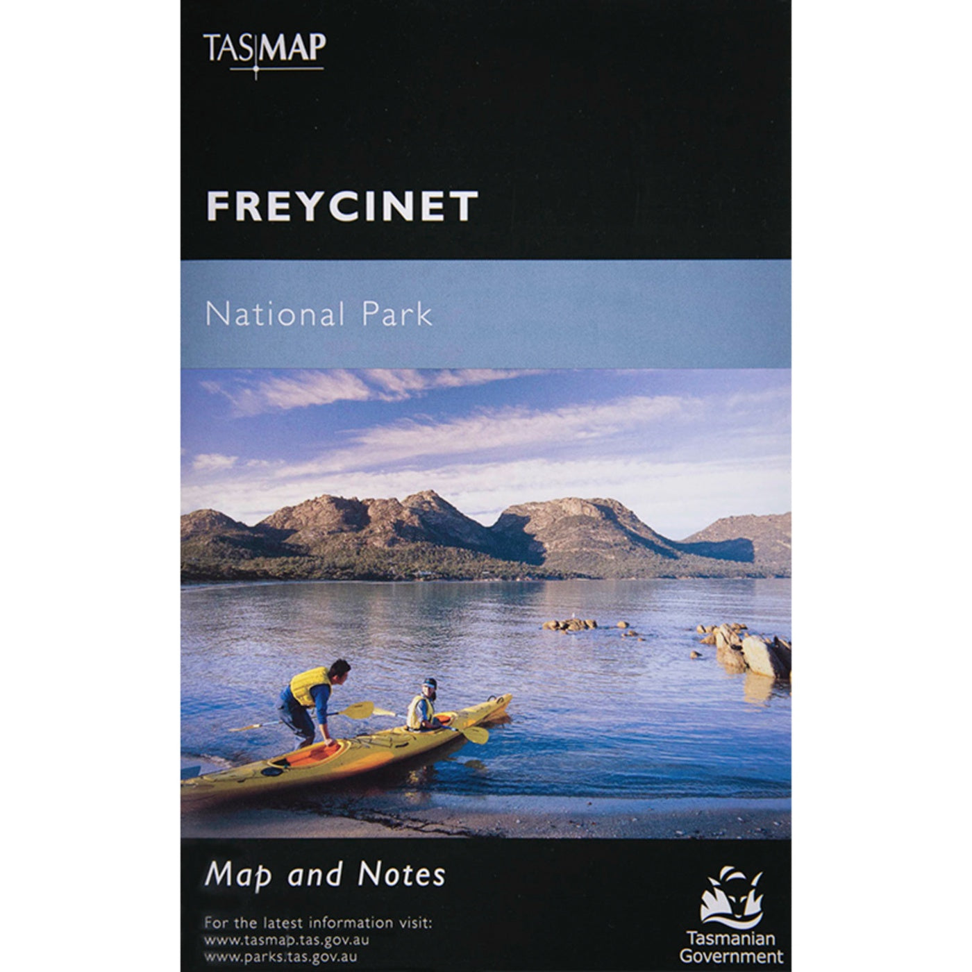
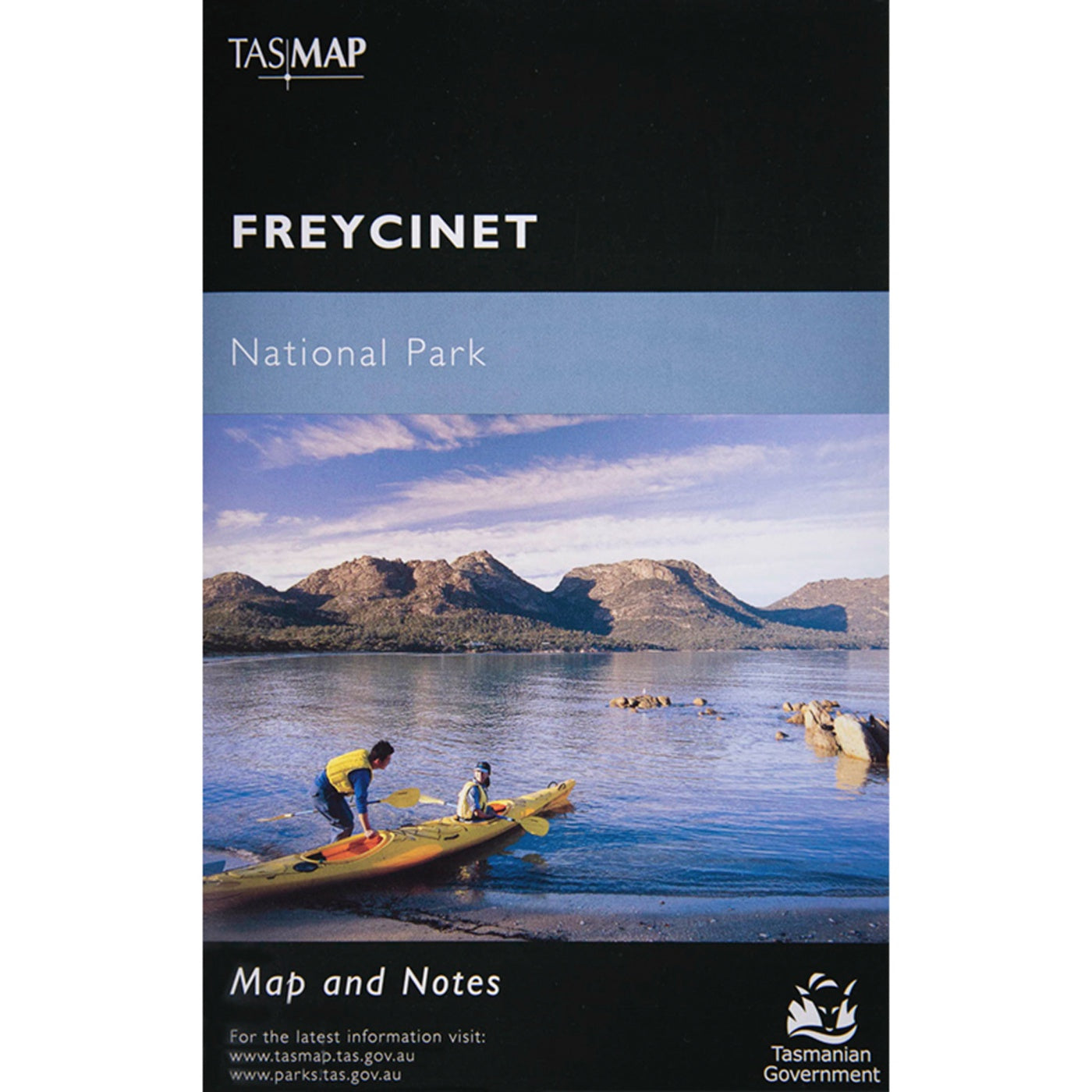
View full product detailsFreycinet National Park Map
$14.00
Freycinet National Park MapTASMAPMap & Notes Freycinet National Park's spectacular red granite peaks, pristine sandy beaches, turquoise waters and stunning coastal views combine to make...
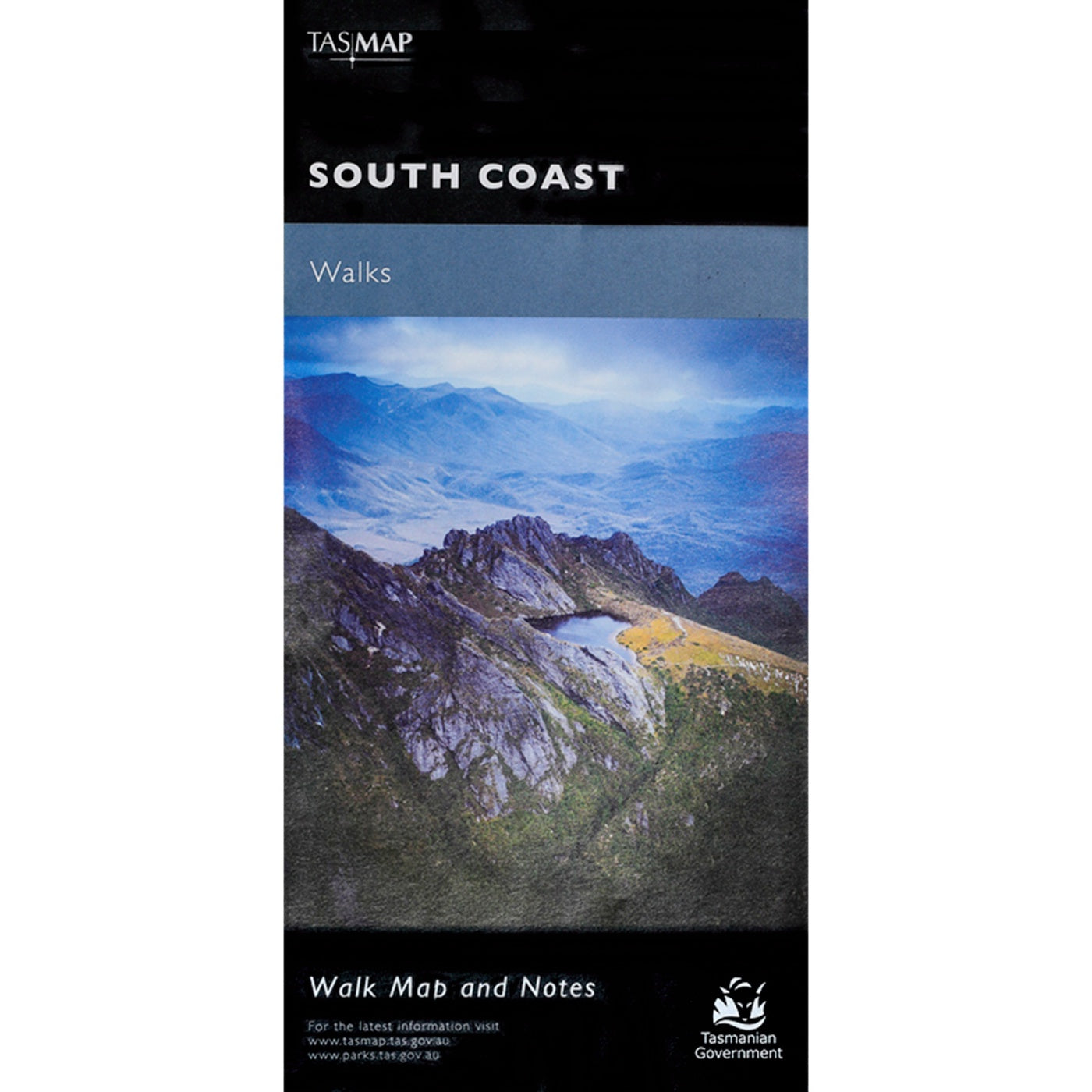
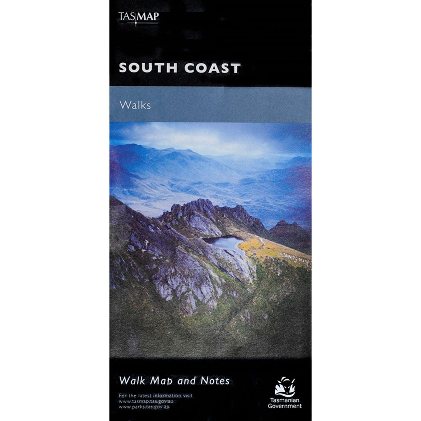
View full product detailsSouth Coast Walks Map
$14.00
South Coast Walks MapTASMAPMap & Notes The Port Davey and South Coast tracks lie within the Tasmanian Wilerness World Heritage Area and are part of...
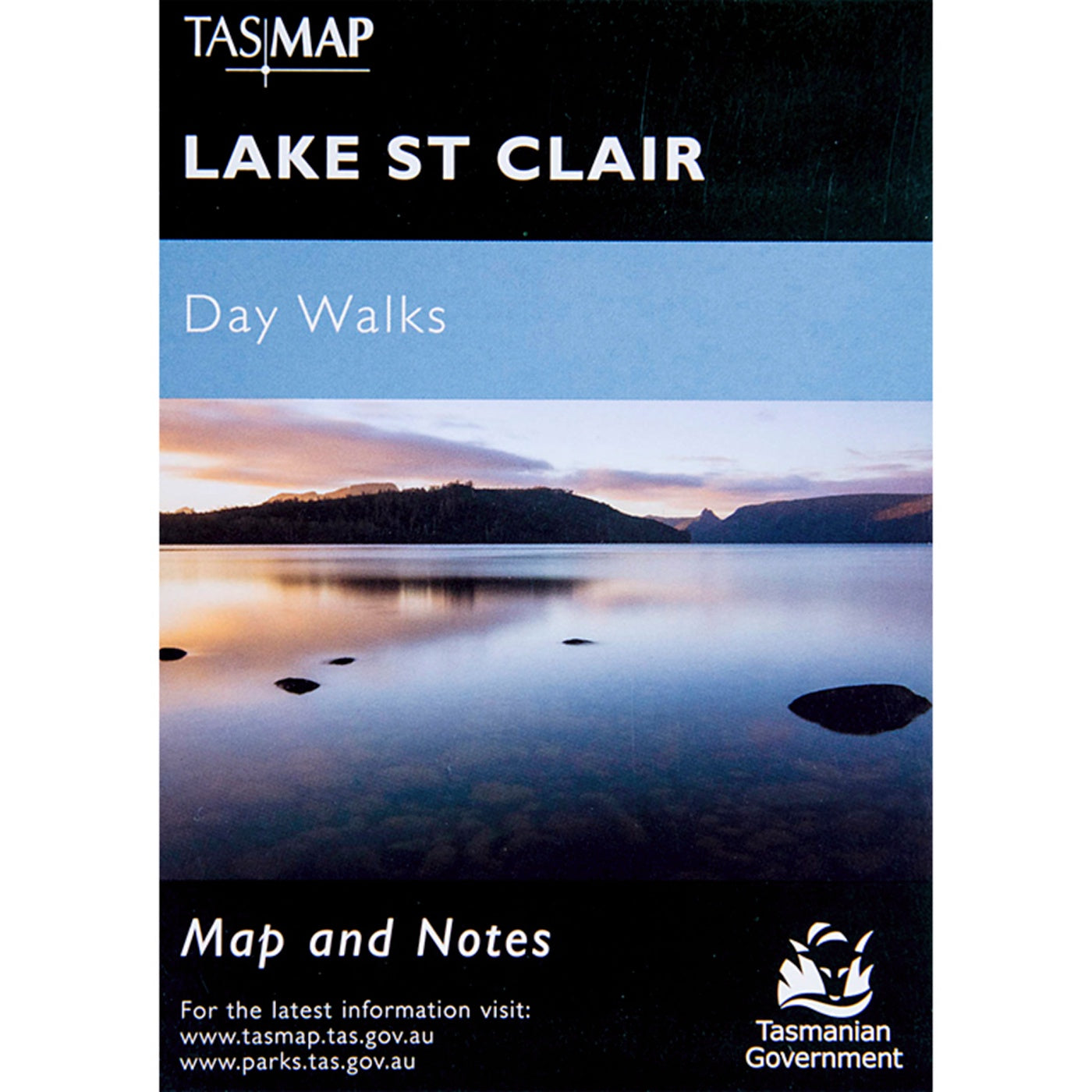
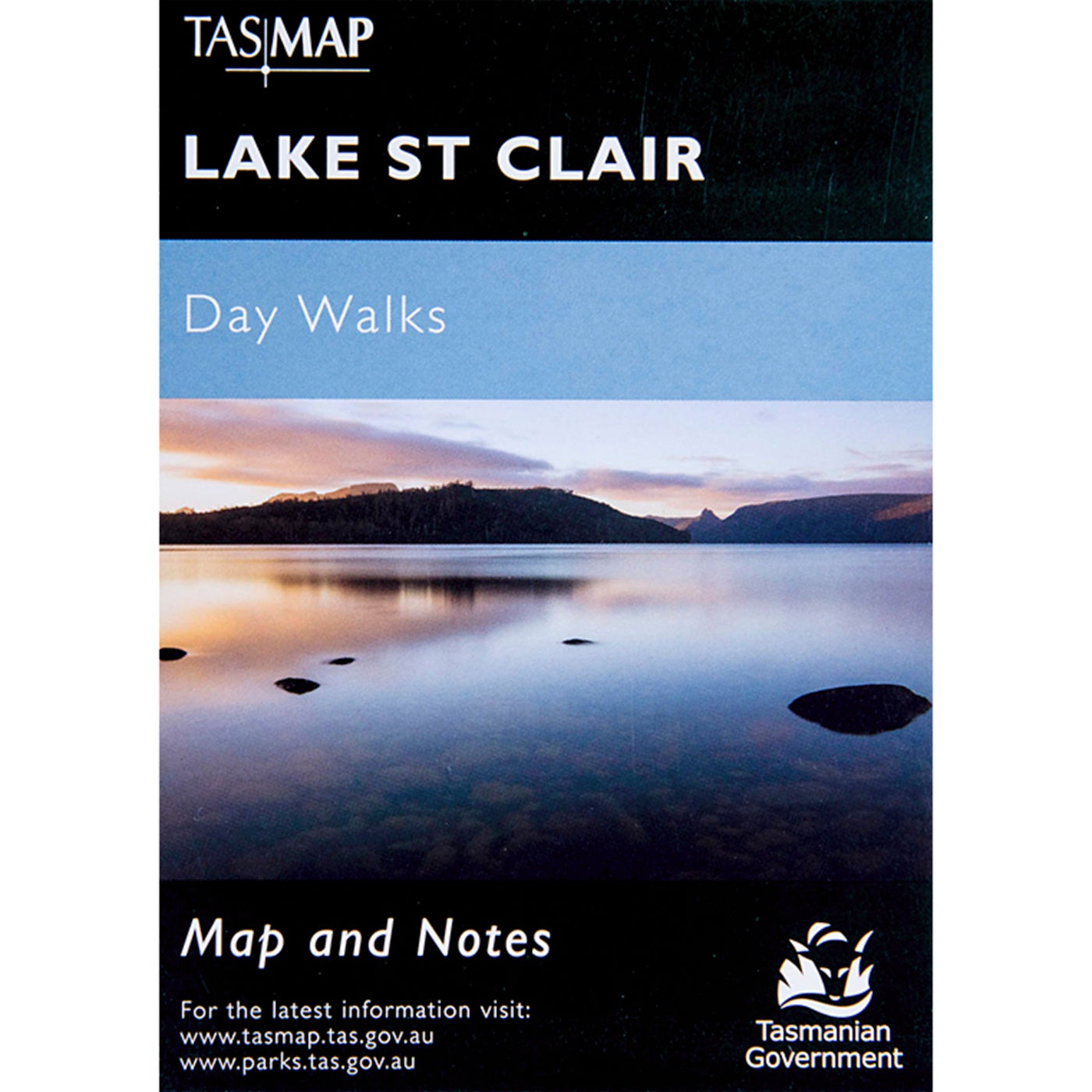
View full product detailsLake St Clair Day Walk Map
$7.95
Lake St Clair Day Walk MapTASMAPMap & Notes Cradle Mountain-Lake St Clair National Park encompasses a wide range of rugged mountain scenery, glacial tarns, forest...
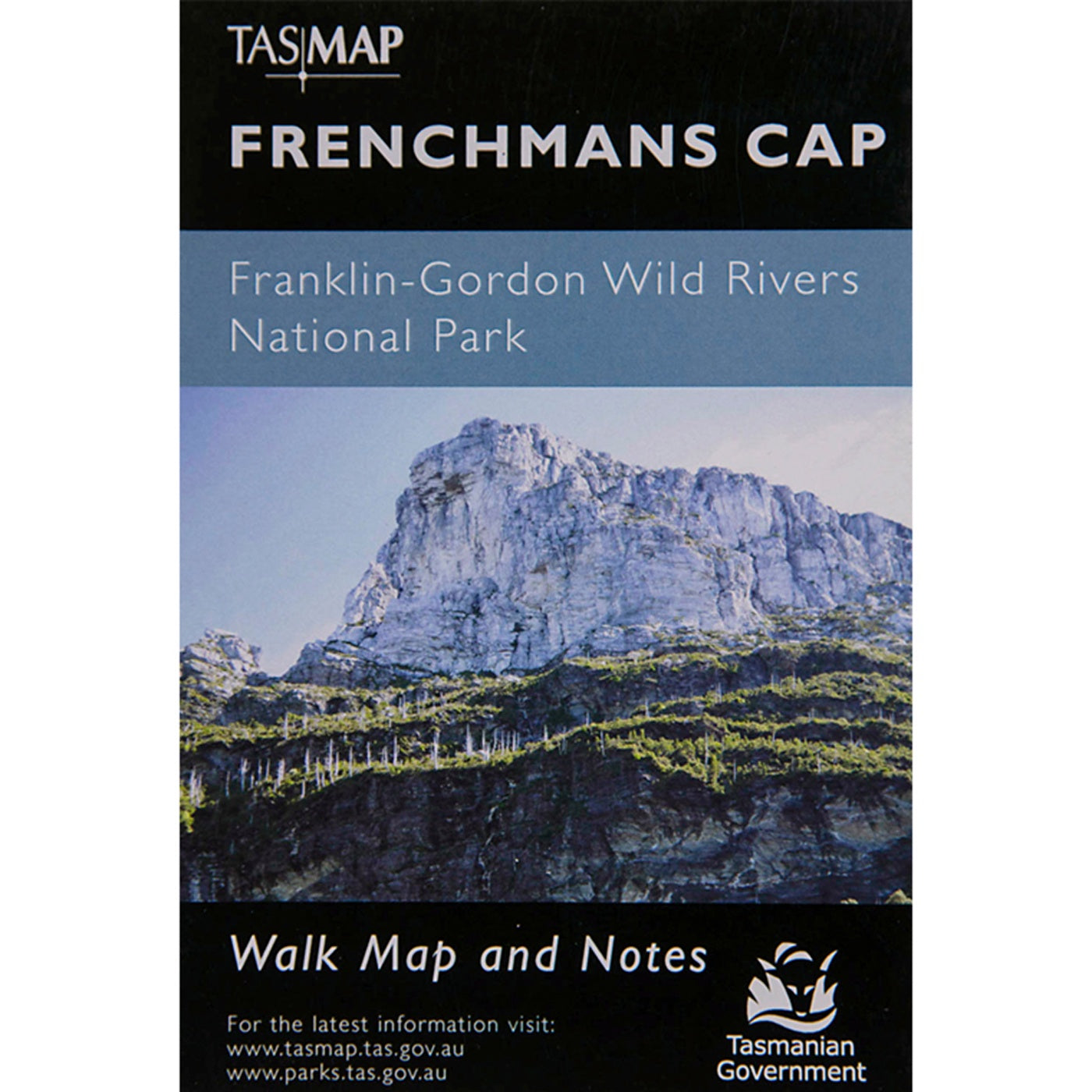
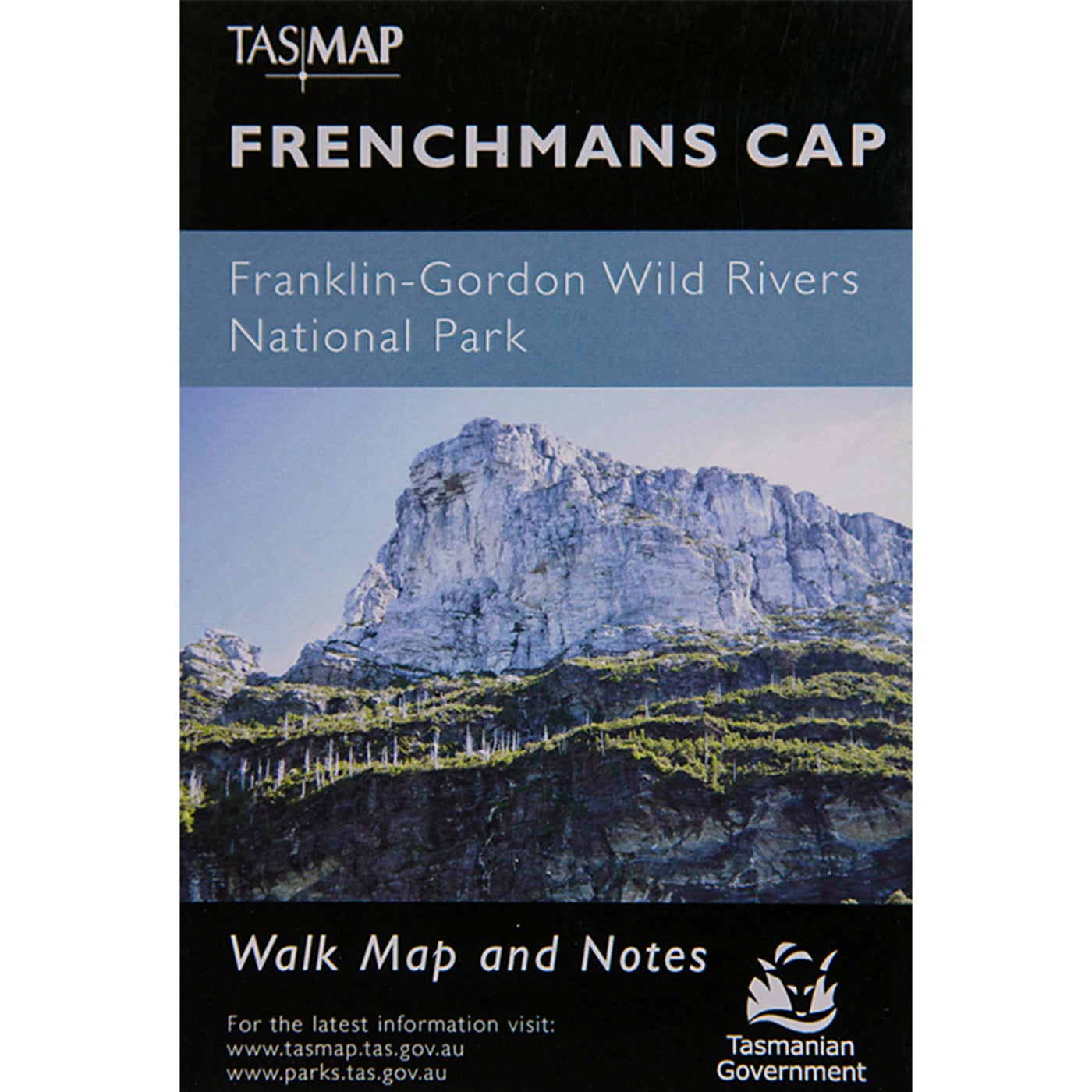
View full product detailsFrenchmans Cap Map
$7.95
Frenchmans Cap MapTASMAPMap & Notes The magnificent quartzite dome of Frenchmans Cap (1443m) is a mecca for bushwalkers and climbers. The panoramic view from the...
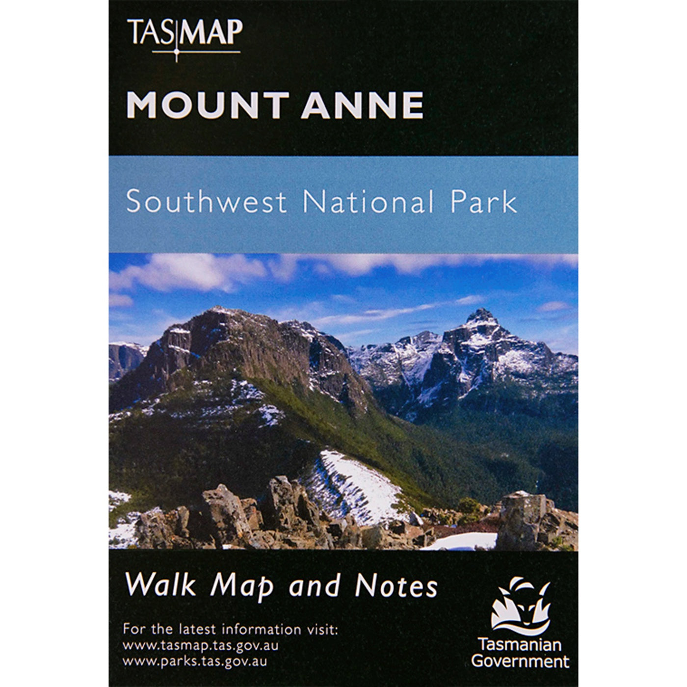
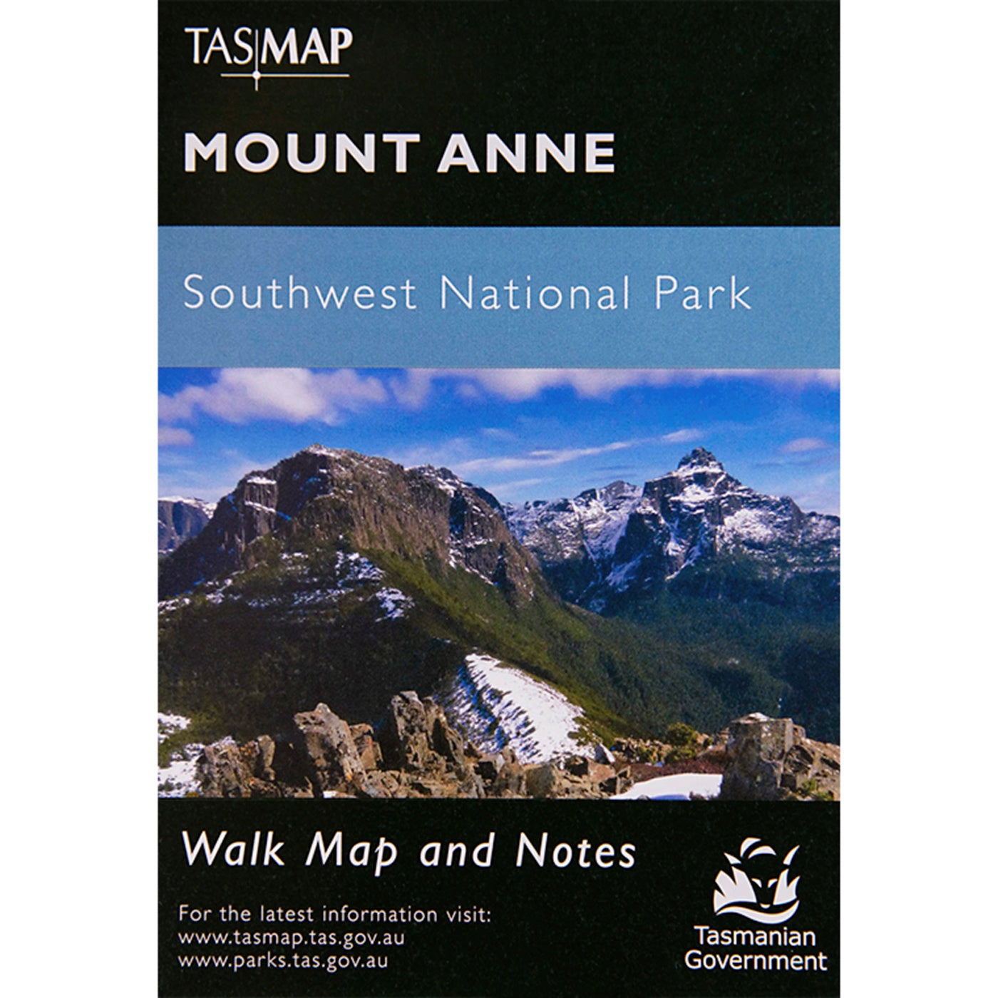
View full product detailsMount Anne Map -Southwest
$7.95
Southwest National Park TASMAPMap & NotesMount Anne is located in Southwest National Park within the Tasmanian Wilderness World Heritage Area. With an elevation of 1423m,...
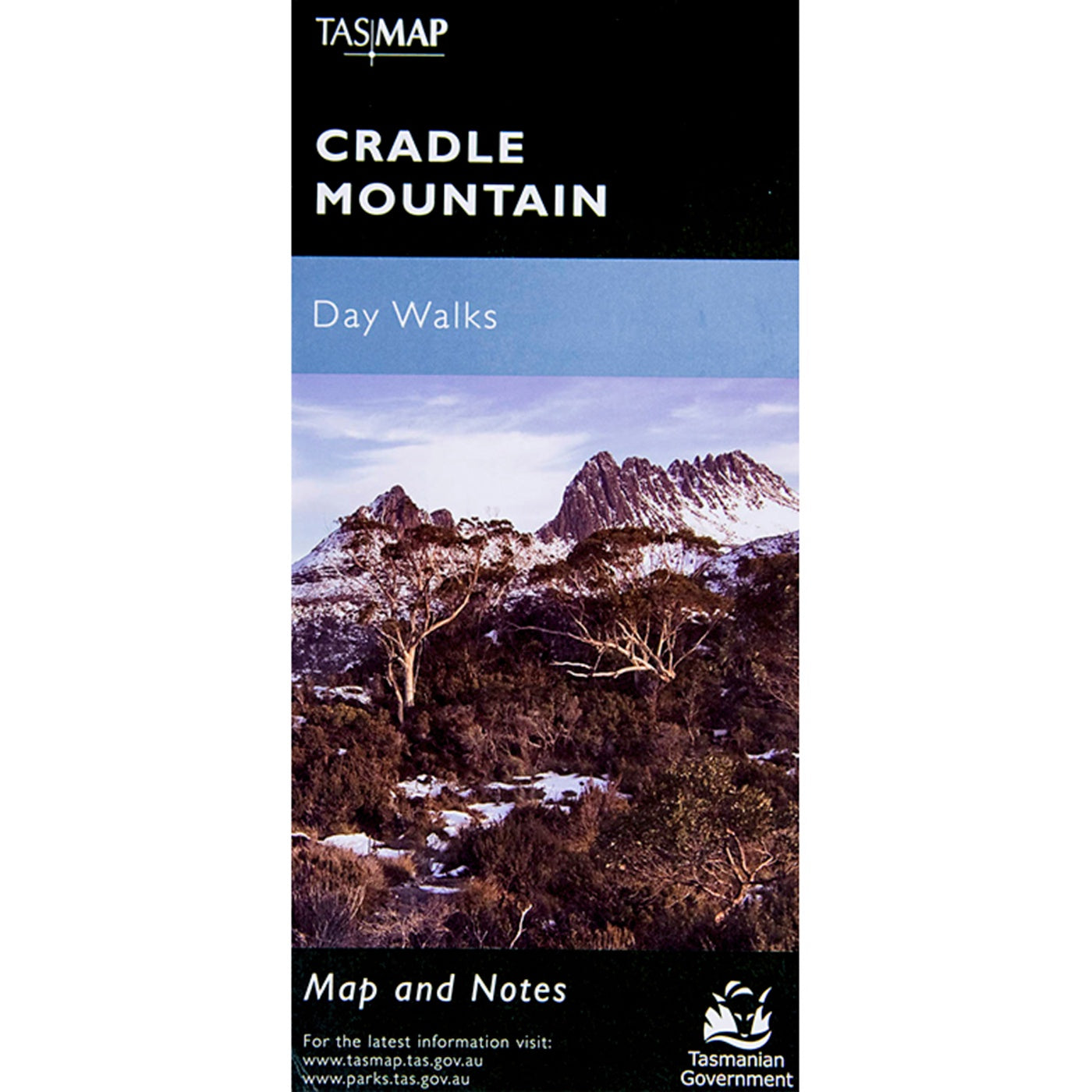
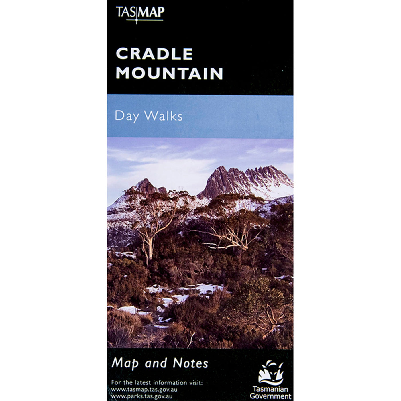
View full product detailsCradle Mountain Map Day Walks
$7.95
Cradle Mountain Map Day WalksTASMAPDay Walk Map & Notes Situated in central western Tasmania, Cradle Mountain - Lake St Clair National Park is the most...
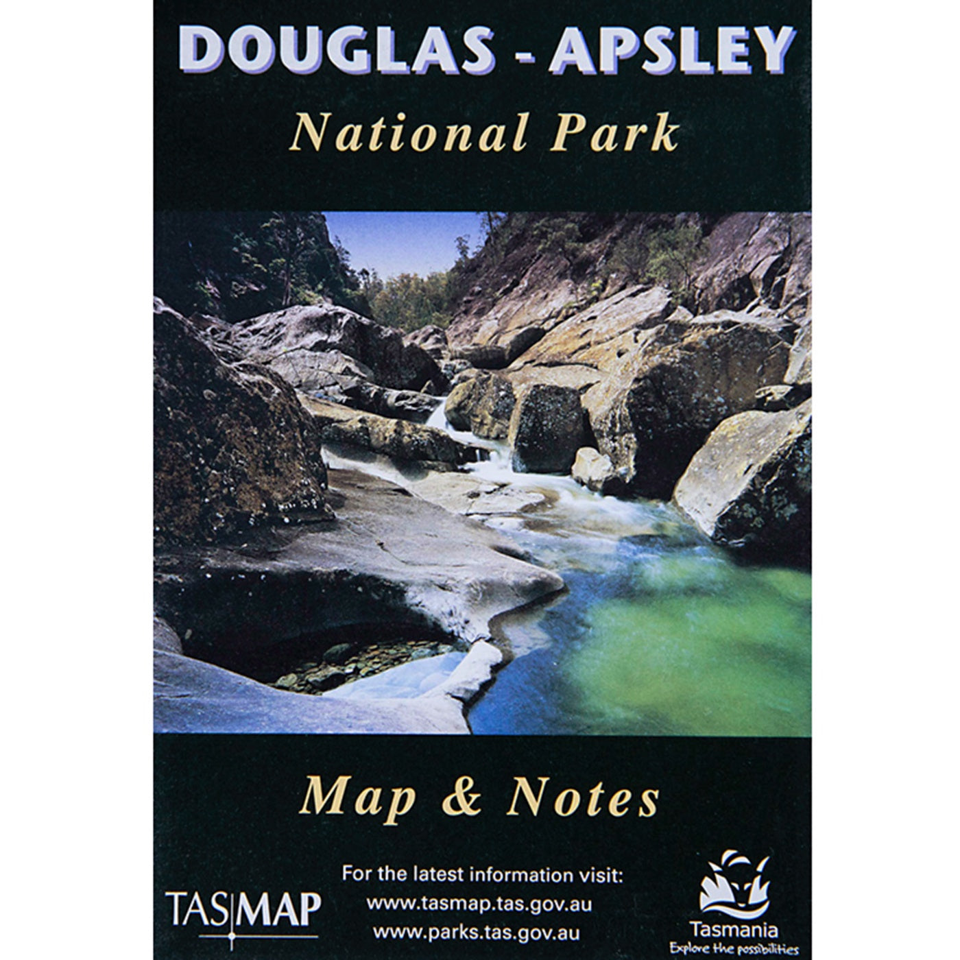
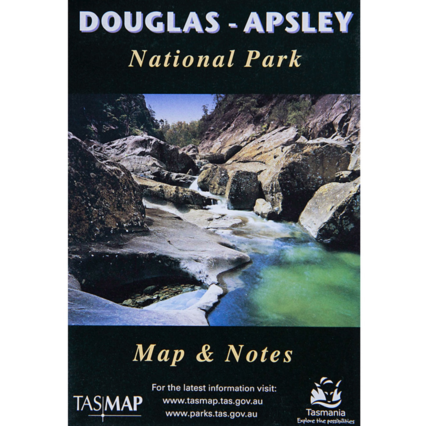
View full product detailsDouglas-Apsley National Park Map
$13.95
Douglas-Apsley National Park MapTASMAPMap and notes Situated between Bicheno and St Marys, Douglas-Apsley National Park is a place of rugged and wild beauty. Dramatic waterfalls,...
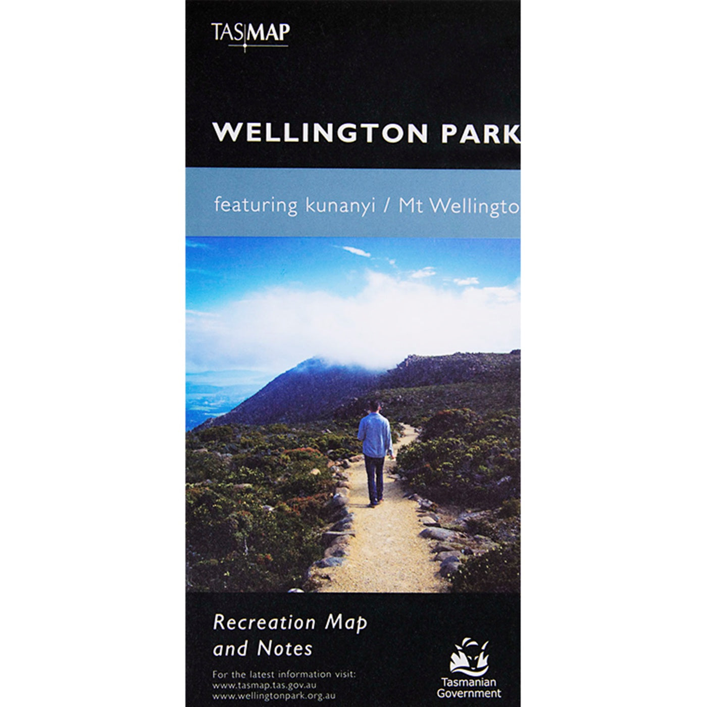
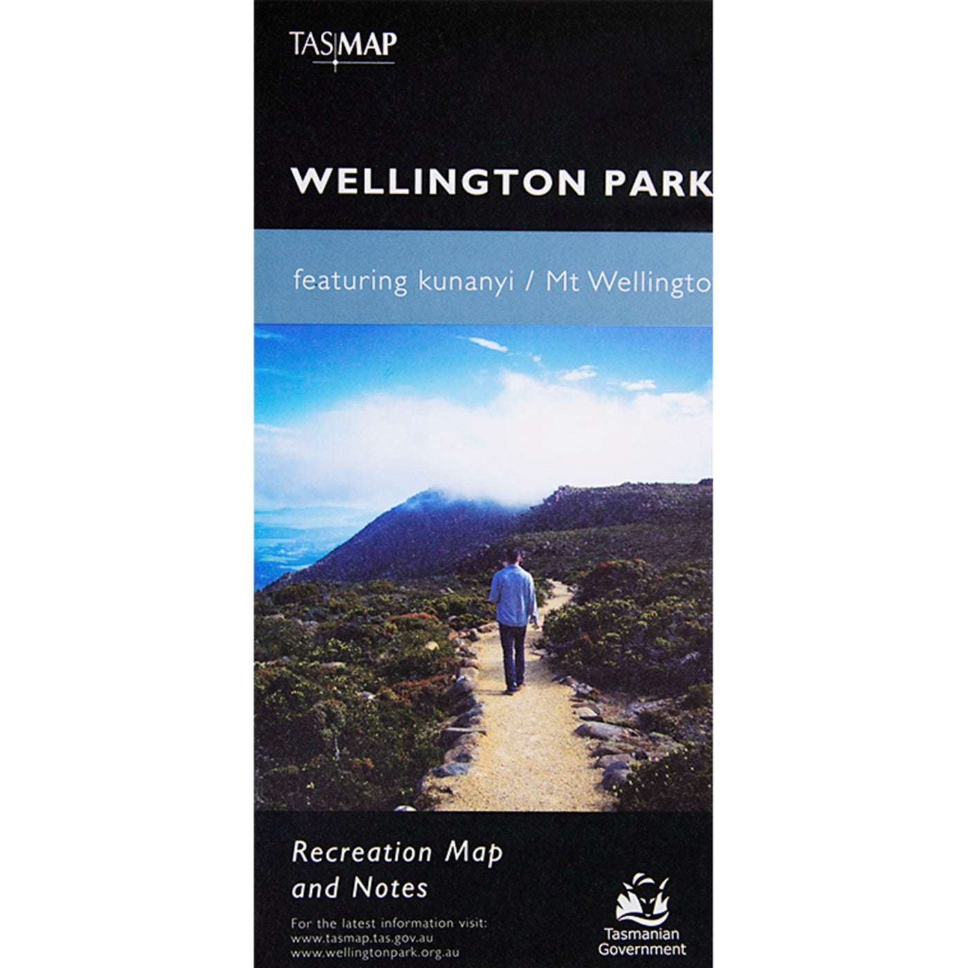
View full product detailsWellington Park Recreation Map
$14.00
Wellington Park Recreation MapTASMAPMap & Notes Wellington Park is located in south-eastern Tasmania on the doorstep of Hobart. Dramatic cliff faces, boulder fields, waterfalls, amazing...
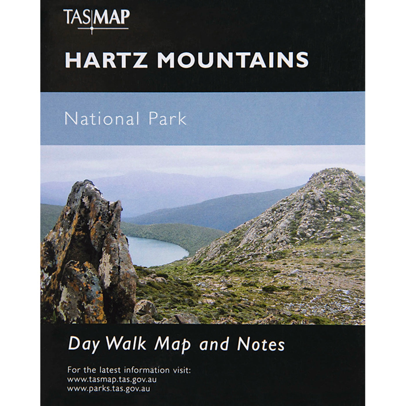
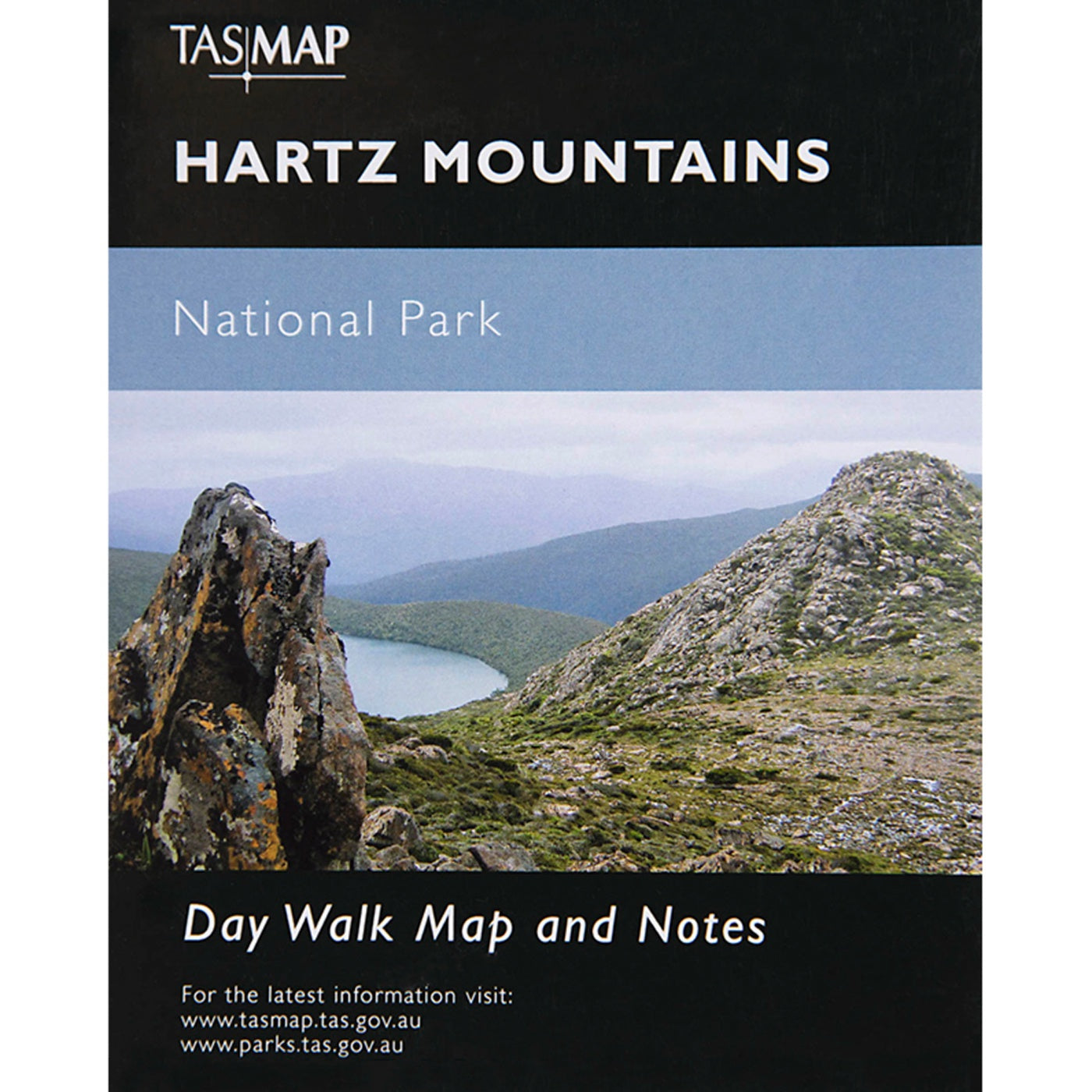
View full product detailsHartz Mountains National Park Map
$7.95
Hartz Mountains National Park MapTASMAPMap & Notes Hartz Mountains was one of Tasmania's first popular bushwalking destinations. Today, visitors are still attracted to the area,...
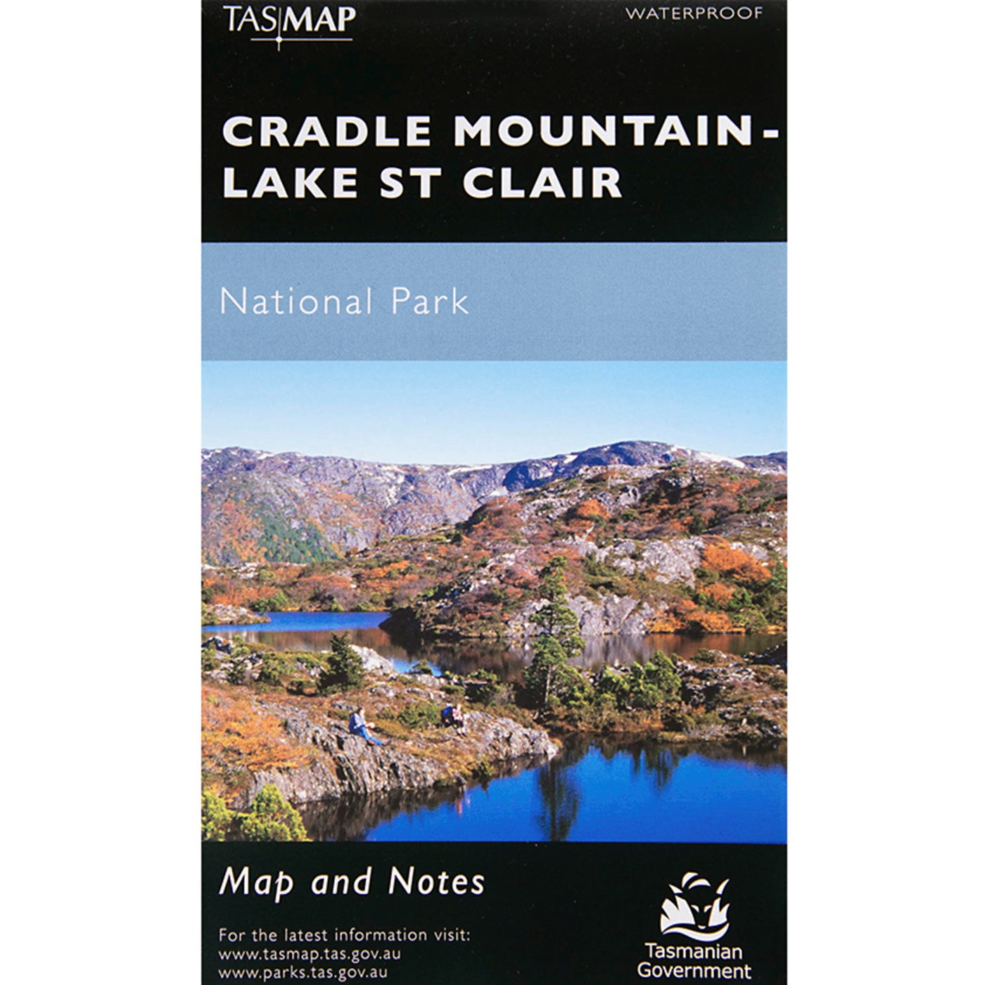
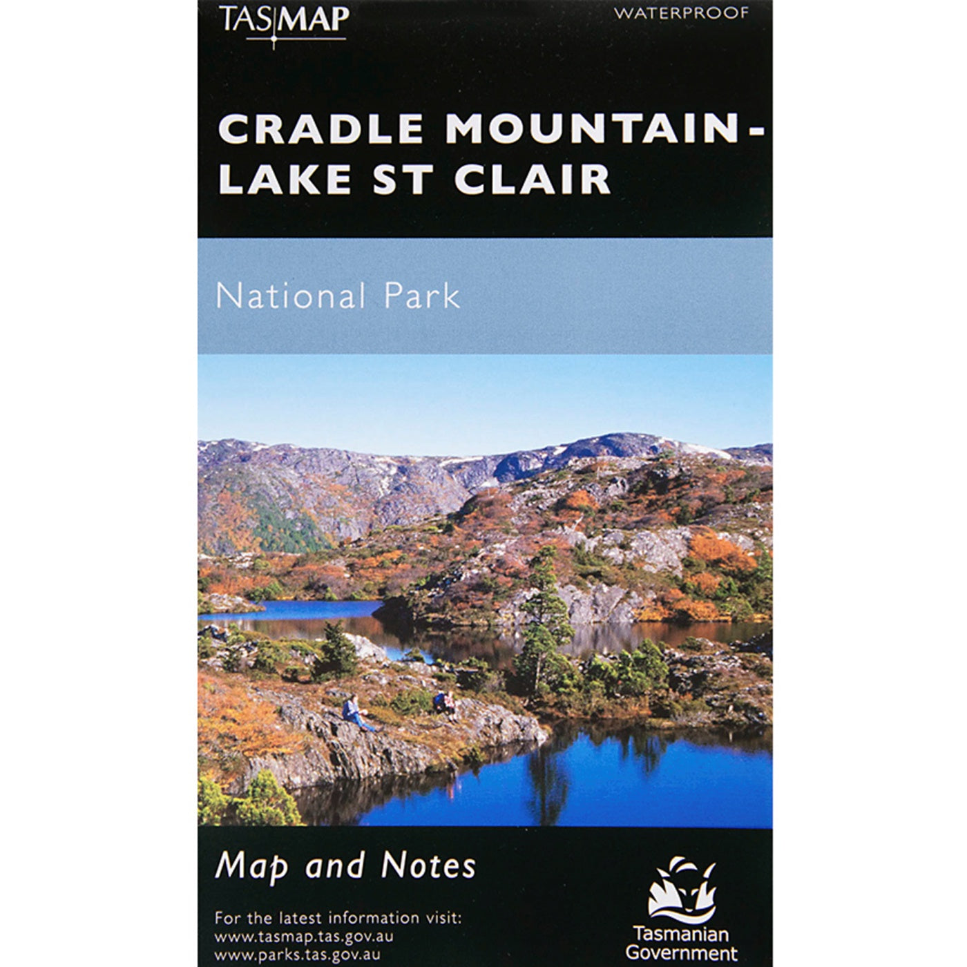
View full product detailsCradle Mountain-Lake St Clair National Park Map
$16.95
Cradle Mountain-Lake St Clair National Park Map TASMAPWaterproof A special edition of one of TasMap's most popular productions. This map is printed on JPP synthetic,...
View full product details

