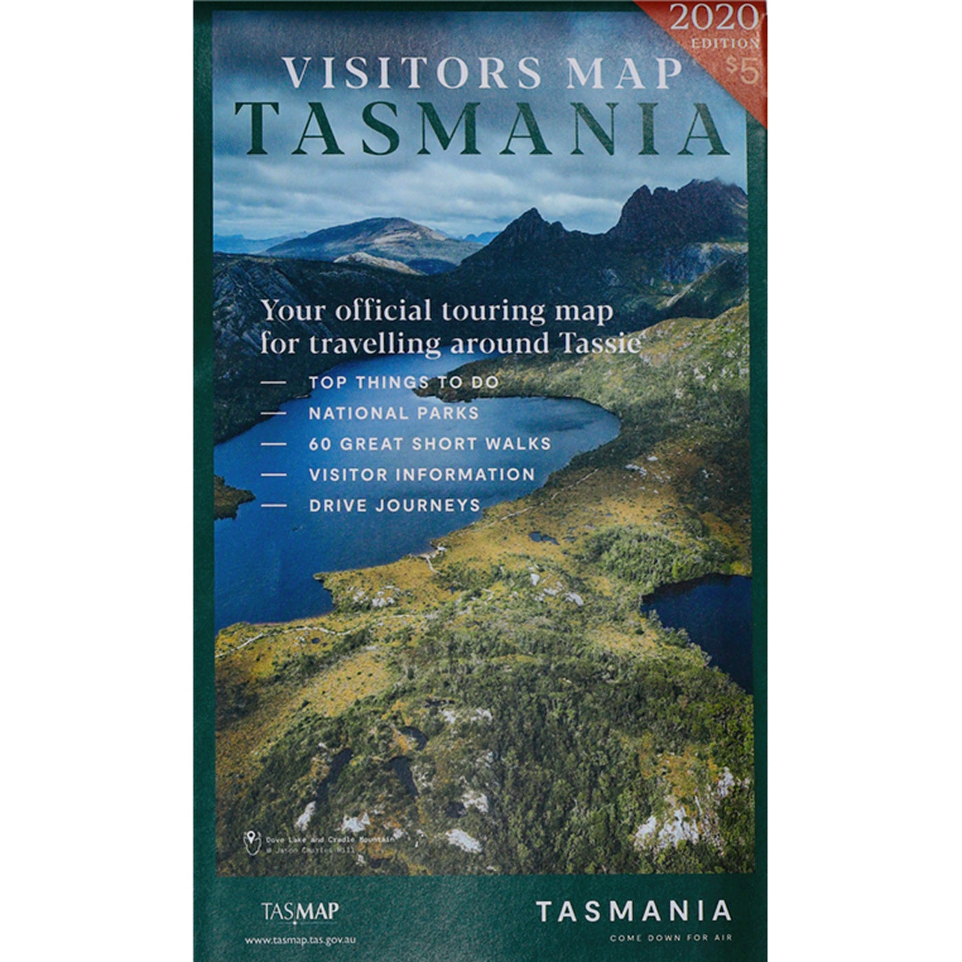
Visitors Map
$5.00
Visitors Map
TASMAP
2020 Edition
The Visitors Map is produced in conjunction with Tourism Tasmania. It covers the entire State at 1:500,000, with large scale town and city maps featured on the reverse side.
The map highlights the Tasmanian Touring Routes and shows most tourist features and services. The route numbering system is clearly shown along with distances between most road junctions.
This is the single most comprehensive Tourist Map of Tasmania - use it to plan your trip and locate national parks, historic features, information centres, major walks, ferries, markets, cruises, galleries, museums, fishing locations and all of the other exciting activities you can enjoy on your holiday.


