

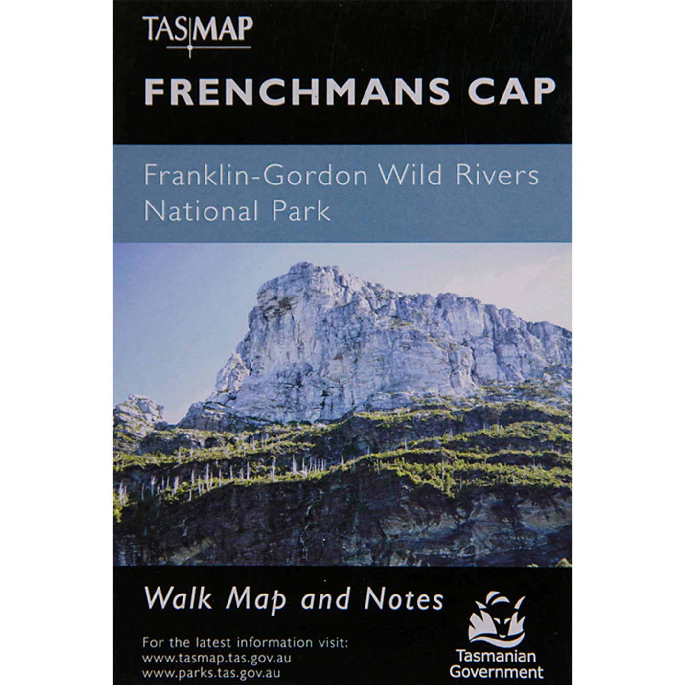
Frenchmans Cap Map
$7.95
Frenchmans Cap Map
TASMAP
Map & Notes
The magnificent quartzite dome of Frenchmans Cap (1443m) is a mecca for bushwalkers and climbers. The panoramic view from the peak on a clear day includes Mt Ossa, features of the southern end of Cradle Mountain - Lake St Clair National Park and Macquarie Harbour to the west.
This map highlights the walking tracks and features tourist information along with general topographic detail. The notes on the reverse side introduce visitors to the vegetation, land forms, animals, history of the area, bushwalking tips and safety essentials.